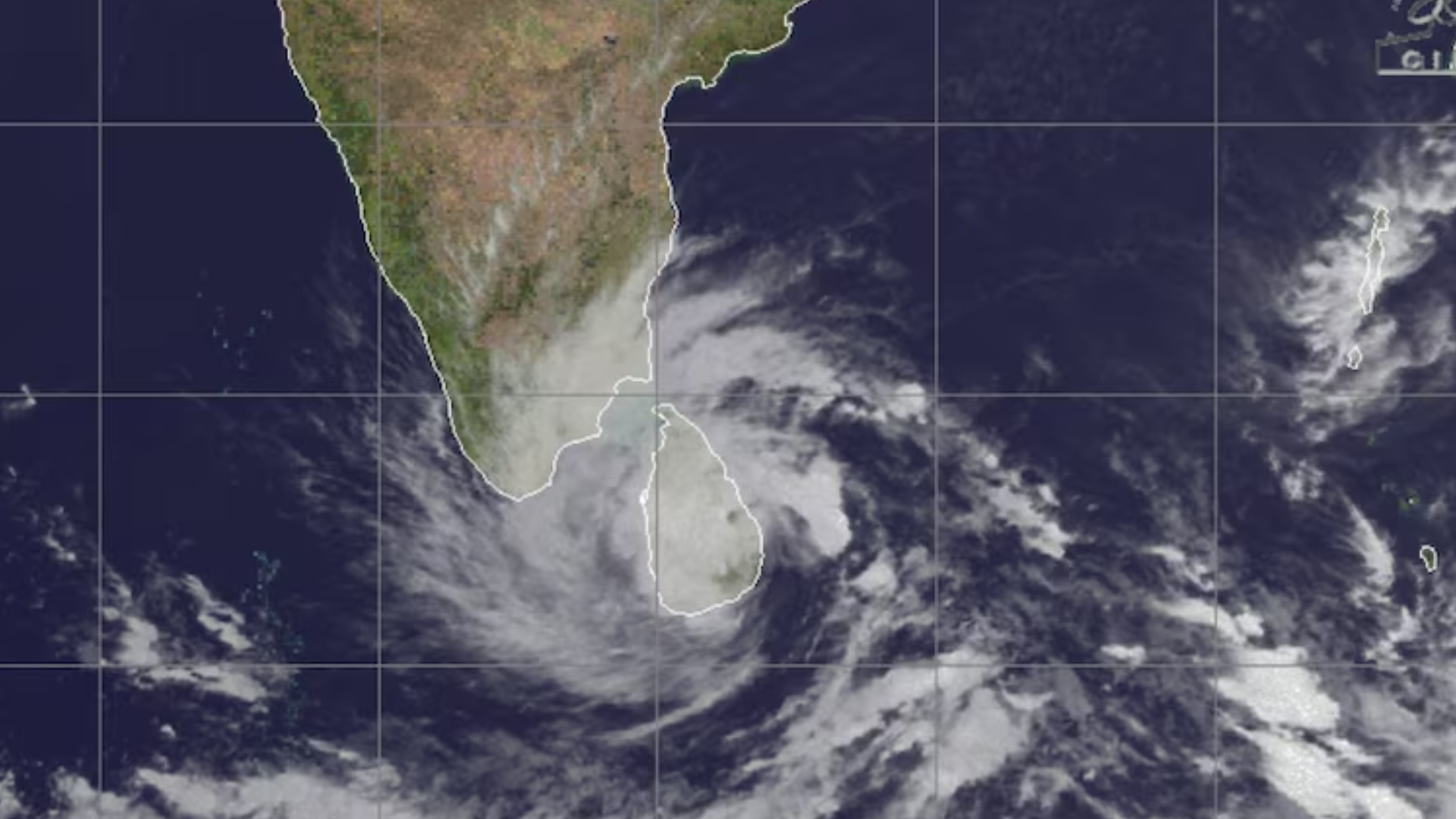
A powerful storm named Cyclone Ditwah is advancing steadily over the Bay of Bengal and is expected to make landfall between northern Tamil Nadu and southern Andhra Pradesh late on November 29 or early on November 30. Meteorologists warn that the cyclone could bring very heavy rainfall, gusty winds, and rough seas, making life challenging for residents along the coast.
The India Meteorological Department (IMD) has issued red alerts for districts including Thanjavur, Tiruvarur, Nagapattinam, and Mayiladuthurai, signaling the likelihood of extremely heavy rain, more than 20 cm in 24 hours. Coastal cities like Chennai, along with nearby districts, are under orange alert, while parts of Andhra Pradesh, especially south-coast and Rayalaseema regions, are also on high alert.
Authorities are urging fishermen to stay ashore and residents in low-lying areas to take precautions against possible flooding and waterlogging. Gale-force winds of 60–80 km/h, gusting up to 90 km/h, are expected along the coast, and the sea will be very rough.
Rain bands from Ditwah are likely to begin affecting southern India from November 29, with heavy rainfall and strong winds continuing through November 30 and into early December. Residents are being advised to stay updated, avoid unnecessary travel, and prepare for possible disruptions.
The name “Ditwah” was submitted by Pakistan to the WMO’s North Indian Ocean naming list. These names are used in rotation to help clearly identify cyclones and communicate warnings effectively.
The coming days will test the resilience of coastal communities, but timely alerts and careful preparation aim to keep lives and property safe.
Also Read: Sri Lanka floods kill 56, schools and offices shut