Delhi-NCR is facing another spell of worsening air pollution, with thick smog spreading across the region and air quality slipping into the very poor category. Delhi’s city-level Air Quality Index (AQI) stood at 331 at 7.05 am on Tuesday, November 3, according to Central Pollution Control Board (CPCB) data. Jahangirpuri was among the worst-affected areas, recording a station-level AQI of 449, which falls in the severe category.
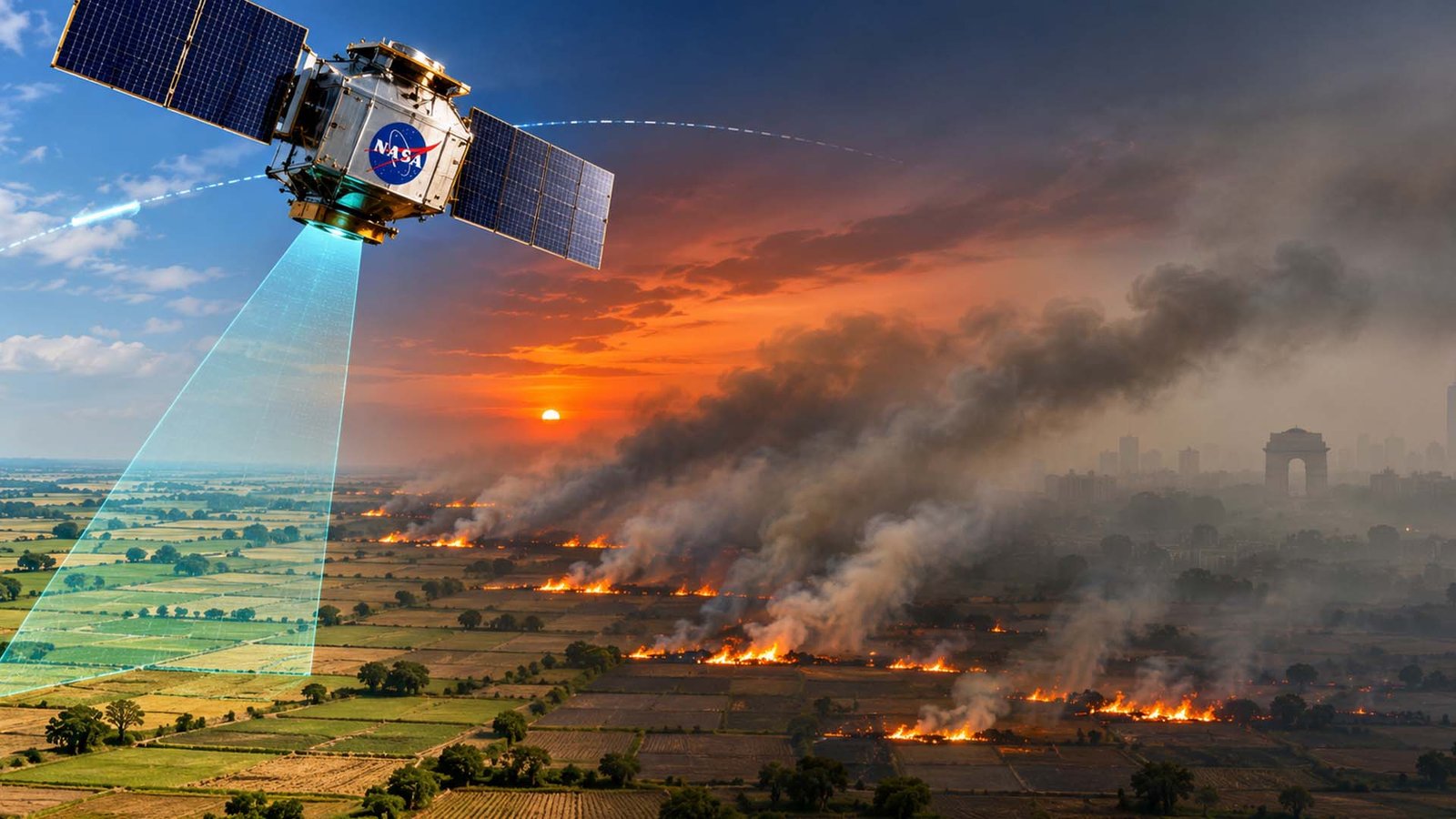
The deterioration has brought the annual winter pollution crisis into sharper focus, with farm fires in Punjab and Haryana emerging as an important contributor. Fresh satellite analysis suggests that several fires are being lit in the evening, after NASA’s satellite has passed over the region. Smoke from these fires, carried by north-westerly winds, is adding to pollution generated by vehicles, industries, construction and other urban sources.
The CPCB readings show a significant deterioration over the past few days. Delhi’s AQI stood at 117 on October 31, when air quality was moderate, before climbing to 261 on Sunday and 324 on Monday. Rain on October 29 and 30 had temporarily improved conditions, bringing the index down to 60 on Friday. However, the improvement did not last as emissions and unfavourable weather conditions pushed pollution levels up again.
Pollution levels also varied sharply across the National Capital Region. Separately, AQI.in reported an AQI of 516 in Ghaziabad and 456 in Delhi at 8.31 am on Tuesday. These readings come from a different tracking platform and should not be confused with CPCB’s city-level figures or individual monitoring station readings. The CPCB’s AQI scale runs from 0 to 500, so the Ghaziabad reading of 516 should be treated specifically as an AQI.in-reported figure.
Under the CPCB classification, an AQI between 301 and 400 is considered very poor, while readings between 401 and 500 fall in the severe category. The city-level reading of 331 therefore places Delhi in the very poor category, while Jahangirpuri’s 449 indicates severe pollution at that monitoring station.
An analysis of satellite, weather and air quality data has highlighted the role of stubble burning in the latest spike. Farmers in parts of Punjab and Haryana have increasingly been setting fire to crop residue during evening hours. NASA’s satellite, which passes over the region at around 1.30 pm, can miss fires that begin later in the day. This means the commonly cited satellite count may not capture the full scale of agricultural burning.
India’s INSAT-3DS weather satellite, which observes the region throughout the day, has detected a rise in evening fires. Its count of fires in Punjab and Haryana increased from 17 on October 29 to 90 on November 1. The satellite captures larger or more intense fires, so the actual number of fields affected could be considerably higher.
NASA recorded 171 farm fires on November 1, its highest daily count of the season. However, the timing of satellite observations can make it difficult to assess the extent of burning accurately. More than 90% of large fires in Punjab during 2024 and 2025 reportedly occurred after 3 pm, highlighting how burning patterns have shifted towards later hours.
The problem is not limited to Indian farms. Satellite imagery has also shown a concentration of active fires across the international border in Pakistan’s Punjab province. North-westerly winds can carry smoke from these areas towards Indian Punjab, Haryana and Delhi-NCR, adding to the regional pollution load. The movement of polluted air across borders makes the crisis difficult to address through measures in the capital alone.
Farm fires are only one part of the problem. Transport emissions, industrial activity, construction dust, waste burning and residential pollution continue to contribute to poor air quality. An assessment by the Indian Institute of Tropical Meteorology estimated that stubble burning accounted for 8.5% of Delhi’s PM2.5 pollution on Monday, with its contribution projected to rise to 22% by Thursday. Transport remained a major local source, accounting for around 20% of the pollution load.
Weather conditions are also making matters worse. Relatively weak winds, falling temperatures and a stable layer of air near the ground prevent pollutants from dispersing. Instead, emissions remain trapped close to the surface, creating the dense smog visible across the capital and neighbouring cities.
The Commission for Air Quality Management (CAQM) has invoked Stage II of the Graded Response Action Plan (GRAP) across Delhi-NCR. Measures include more frequent mechanical road sweeping, increased water sprinkling, stricter checks at construction sites and restrictions on the use of coal and firewood in hotels, restaurants and open eateries. Diesel generator sets have also been restricted to essential and emergency services.
Authorities have increased public transport services and raised parking charges to discourage private vehicle use. Delhi Metro has added 20 weekday train trips, while traffic personnel have been deployed at congestion hotspots. The measures are intended to reduce emissions while limiting dust and other sources of pollution.
The outlook remains concerning. The Indian Institute of Tropical Meteorology has forecast very poor air quality in Delhi until November 5, with conditions likely to range between poor and very poor over the following days. North-westerly winds are expected to continue, potentially carrying more smoke towards the region.
With Diwali approaching, firecrackers and increased festive activity could add further pressure to an already polluted atmosphere. For residents, the worsening air quality is a reminder that Delhi’s winter smog is driven by several overlapping sources. Tackling the crisis will require sustained action on farm fires, transport emissions, construction dust and regional pollution, rather than relying on short-term restrictions alone.